Myitkyina TRAVEL GUIDE
Myitkyina is the capital city of Kachin State in Myanmar (Burma), located 1,480 kilometers (920 mi) from Yangon, and 785 kilometers (488 mi) from Mandalay.
Myitkyina is currently the furthest north that it is possible to travel in Myanmar over land, and not many people make it this far. There is a wide variety of people who live here, including ethnic Kachin (including a large Christian contingent); Hindus; Sikhs; Muslims; and Gurkhas.
In Burmese it the towns name means “Near The Big River”, and Myitkyina is on the west bank of the Ayeyarwady River, just below 40 kilometers (25 mi) from Myit-Son (Burmese for confluence) of its two head streams (the Mali and N’mai rivers). It is the northernmost river port and railway terminus in Myanmar.
Myitkyina is a very compact town. Towards the south (at the end of the road leading directly east from the railway station) there is an impressive new Golden Hindu Temple. The market is a few blocks further up; and roughly 25 minutes walk further north is the impressive Sutaung Pyi Pagoda.
This area right next to the river includes the usual golden pagoda, but perhaps of more interest are the huge standing and reclining Buddhas adjacent to it.
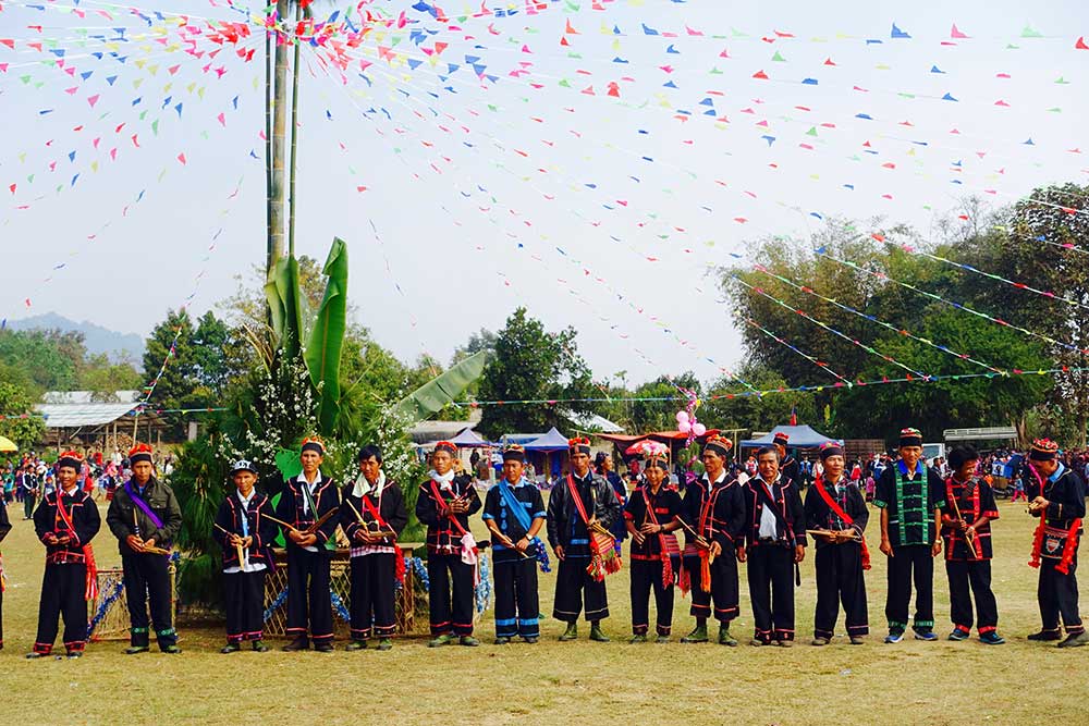
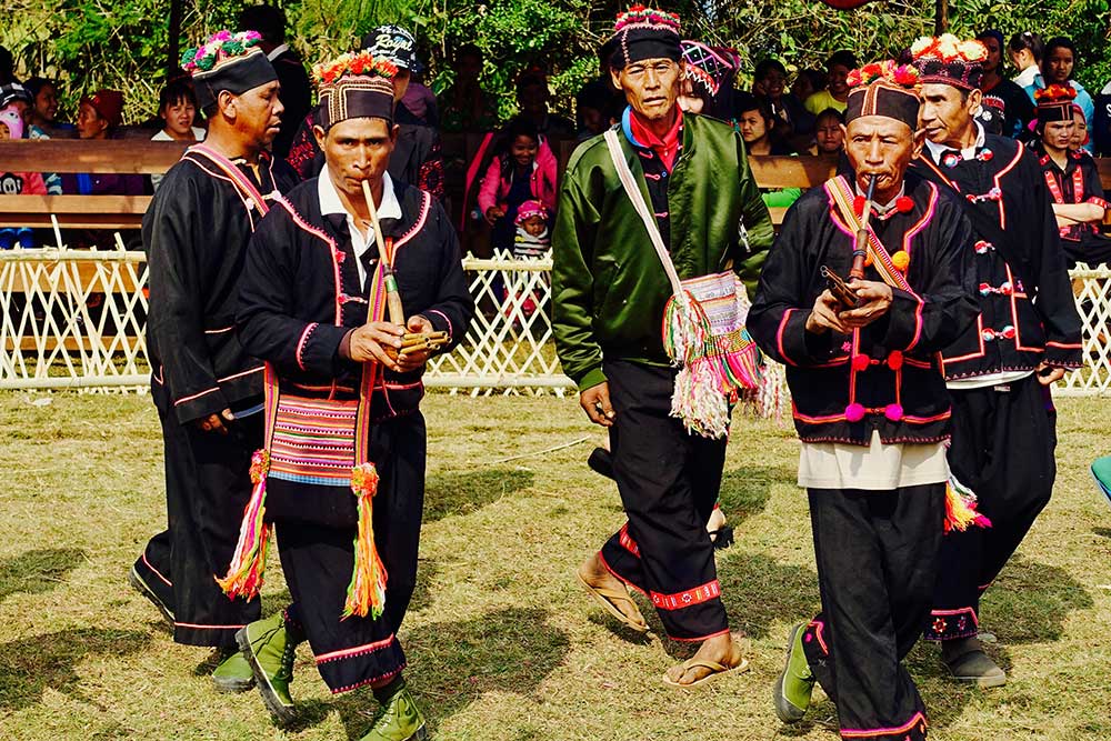
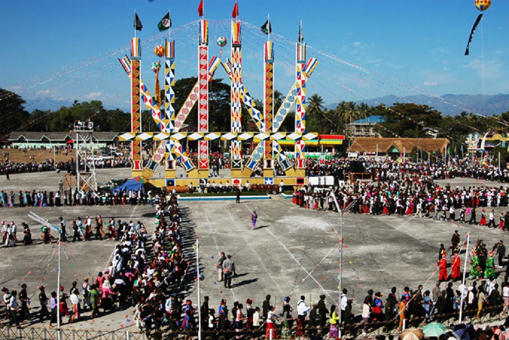
Each year on January 10th, the town wakes up to celebrate the Kachin State Day with the Manao Festival; The formally recognized 28 nat spirits are honored with the sacrifice of nearly thirty livestock and an elaborate dances performance. Possible excursions include the jade mining center of Phakant and Indawgyi Lake, a seasonal refuge for migratory birds.
OTHER REGIONS
Myanmar / Essential Information
- Visas and border crossings
- Country facts and figures
- Language and culture
- Security
- Money
- Mobiles and the Internet
- Travel to and around Myanmar
- And more


